SMART City with map matching
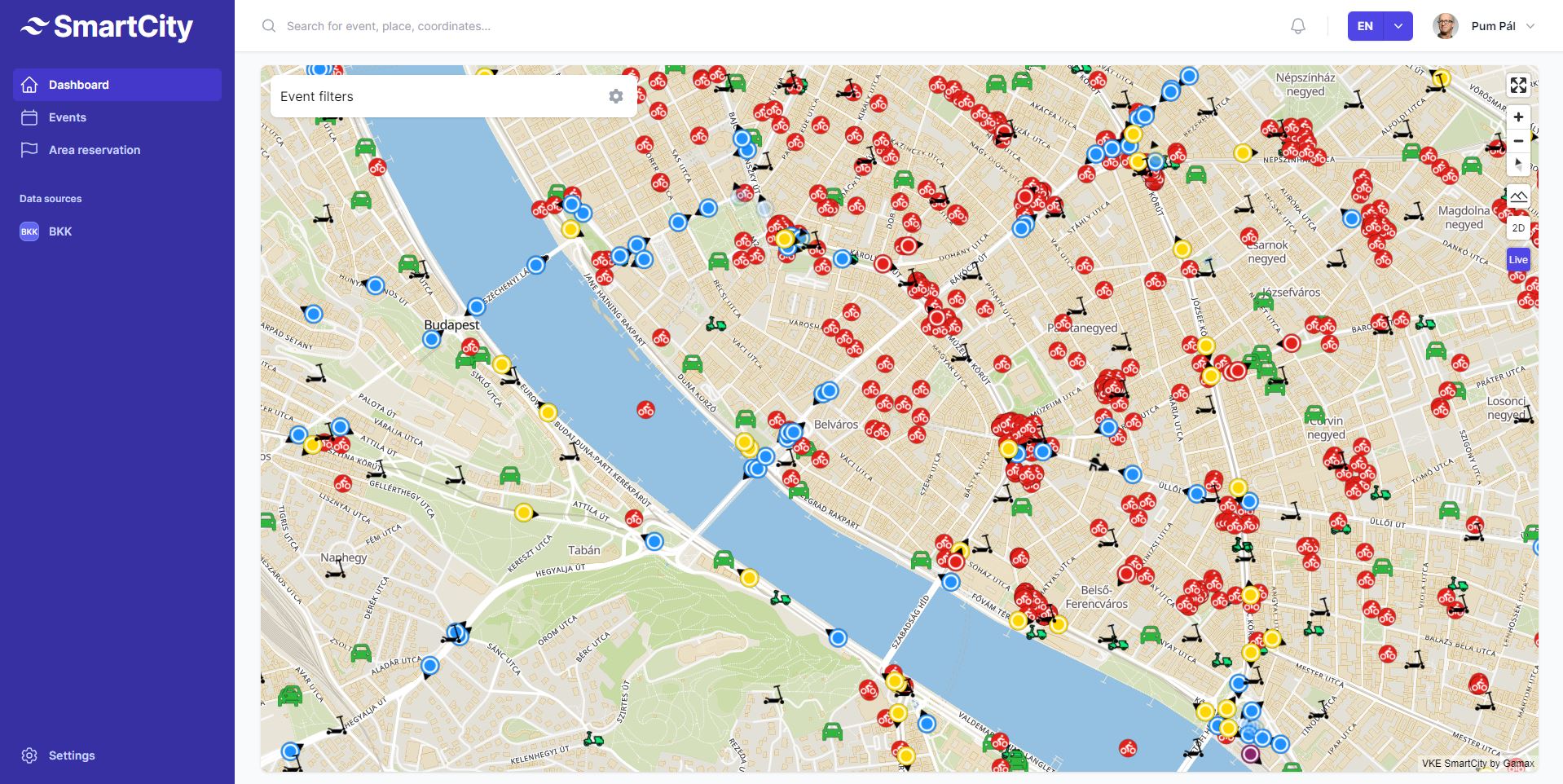
The City AI system is able to monitor the city's traffic using sensors (traffic cameras, our proprietary mobile app, inductive loops, real-time data from public transport). From the observed data, the AI module performs traffic analysis and then predicts traffic and recommends interventions. Based on these recommendations, the user can decide to immediately change the program of the traffic lights in the city, making traffic flow more efficient, and send notifications to the public transport company's passenger information system and mobile app. On a map the user can see the predictions for the overall conceptual situation of the city based on historical data, traffic statistics from camera image analysis, current traffic obstacles and the position of public transport vehicles.